COASTAL ROUTES

Safe Routes For Hatteras

Get tide timing, GPS waypoints, and weather checks for Hatteras waters. We also watch inlet and channel notes so each trip starts with a clear plan.
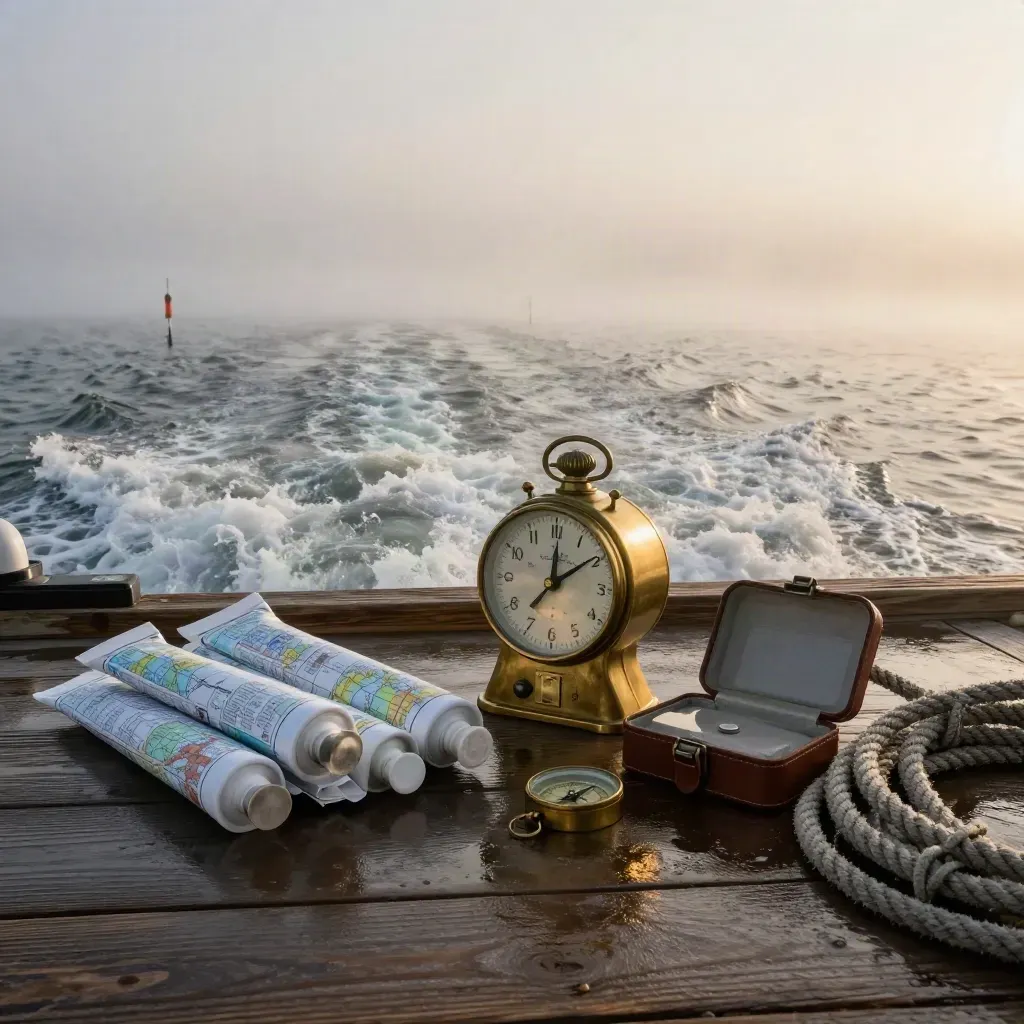
Foggy Hatteras inlet departure gear by a dawn channel wake.

Metric 01

250+

routes planned for Hatteras waters

Metric 02

12 yrs

years on coastal charts

Metric 03

4.9/5

rating from boaters and captains

HOW IT WORKS

Simple Steps Before You Launch

Point-to-point coastal routes with inlet, shoal, and bridge notes.
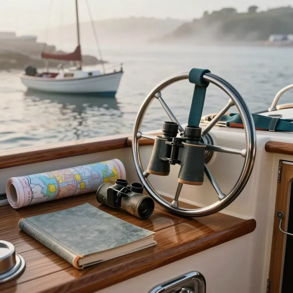
Teak cockpit helm with chart tube, binocular case, logbook, and moored skiff in sea mist

1 route pack

Route Planning

From $149

Point-to-point coastal routes with inlet, shoal, and bridge notes.
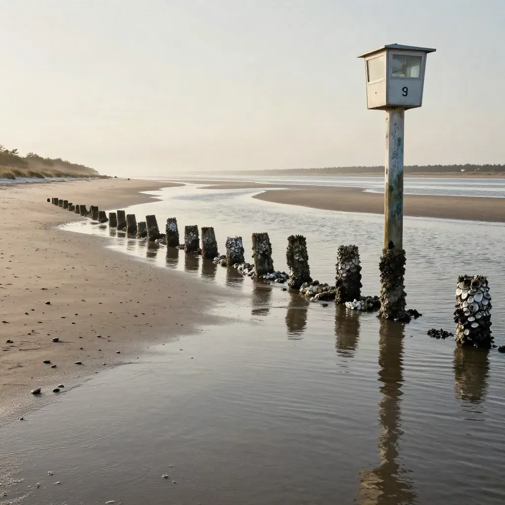
Low tide sandbars and oyster-streaked pilings beside a tide gauge post at Hatteras Pass.

Monthly update

Tide Charts

From $99

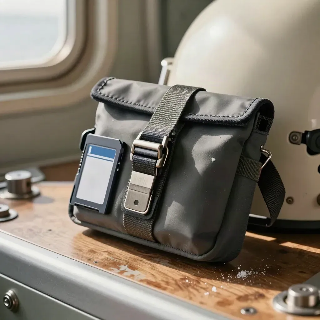
Waypoint pouch, plotter cradle, and memory card shell ready at a boat helm

File delivery

GPS Waypoints

From $129

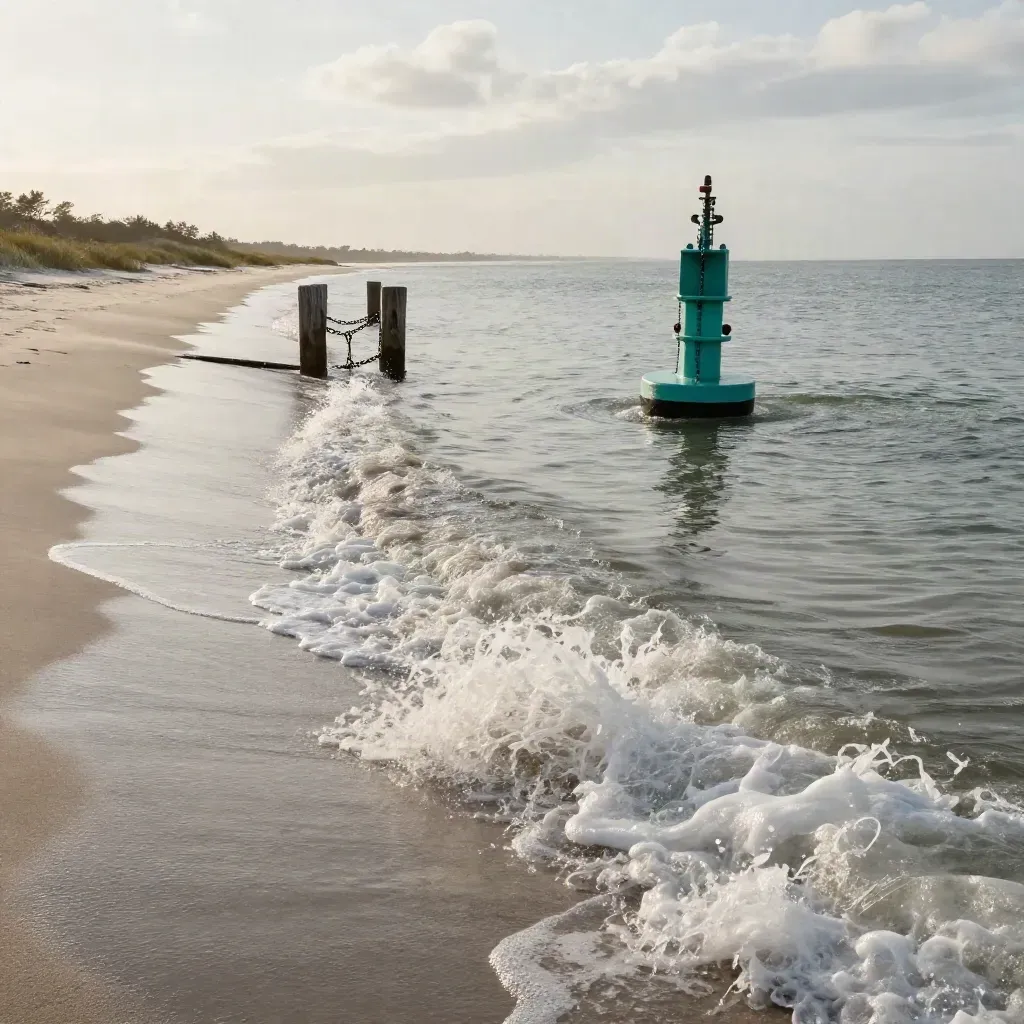
Fresh channel buoy and marker line guiding clean current through Hatteras inlet.
01Weekly notes

Channel Alerts

From $89

Fresh inlet and channel updates for Hatteras and nearby bars.
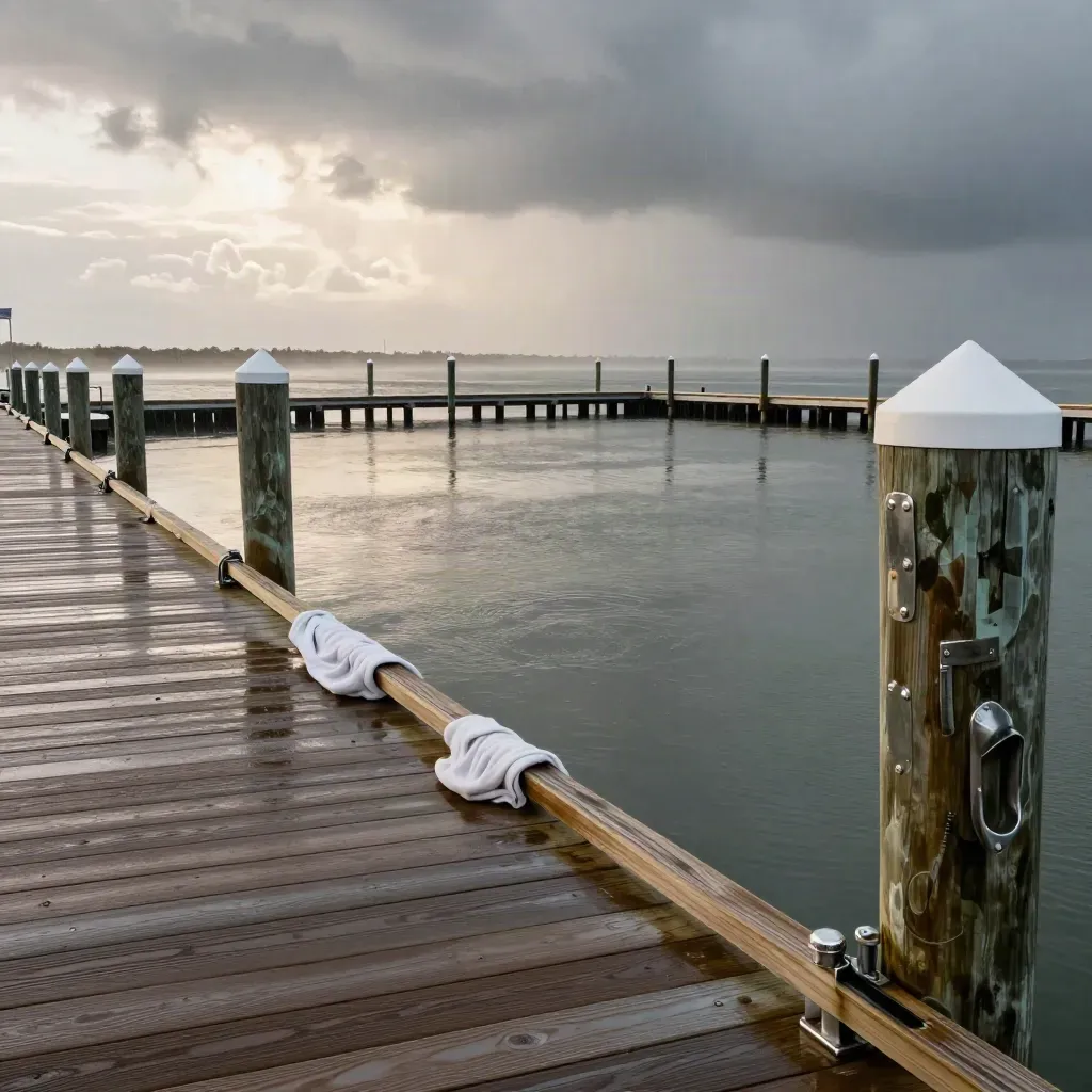
Protected marina slip with calm basin water and storm front beyond
0248-hour check

Weather Routing

From $179

Trip checks for wind, swell, and rain windows before departure.
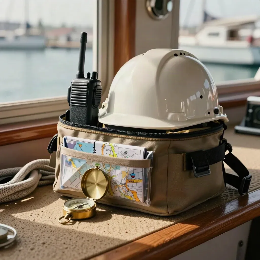
Dockside helm with VHF radio, emergency kit, compass and folded map in warm morning light
03Phone support

Captain Support

From $249

Call a captain for live help on route changes and dock plans.

SERVICES

Core Services For Safe Runs

Tell us your route, boat type, and launch time. We note the details that matter.

Overhead flatlay of a waterproof trip pouch, boat key, thumb drive and watch on pale wood.
01

Send Your Trip

Tell us your route, boat type, and launch time. We note the details that matter.

Stone tray still life with tide clock, brass compass, weather vane and knot sample in soft coastal light
02

Check The Water

We review tides, currents, wind, and inlet notes so the plan fits the day.

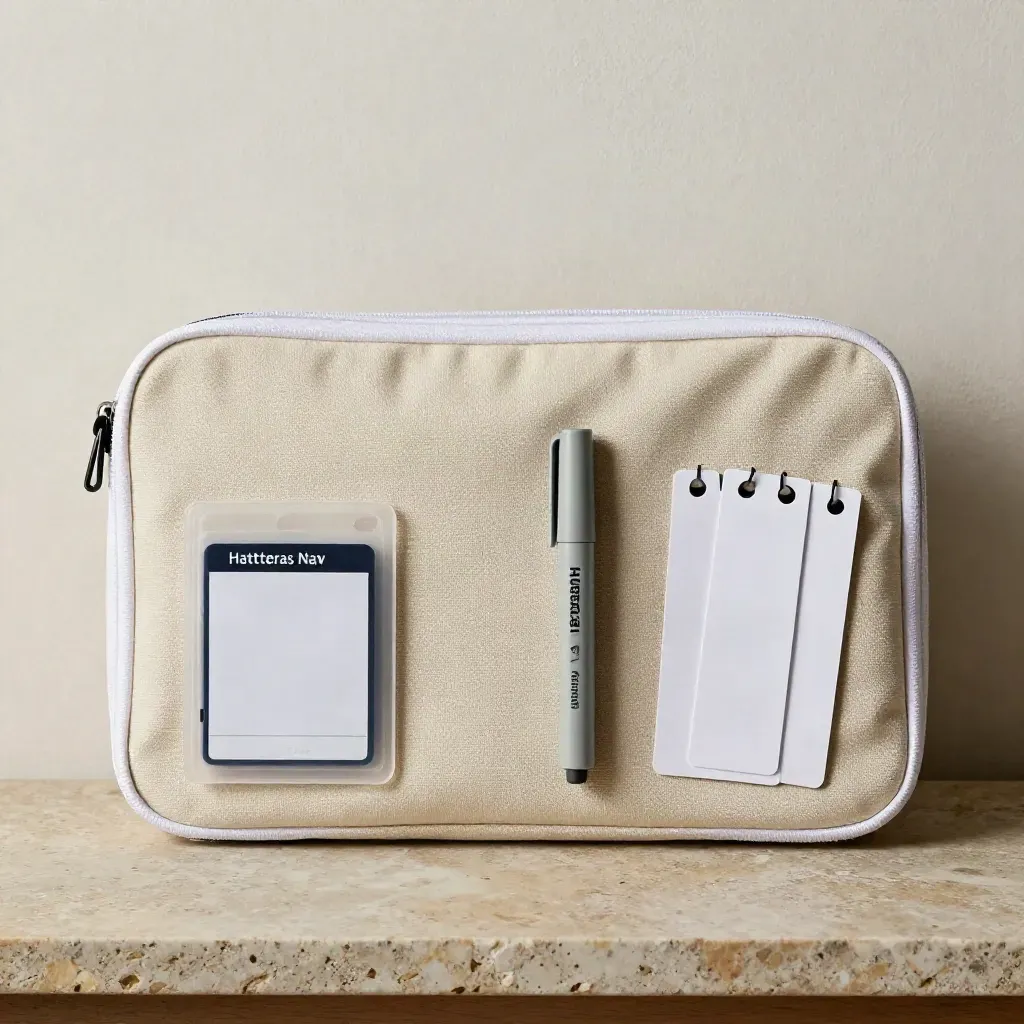
Flatlay of a zippered chart case, memory card, marker, and clipped route tabs on warm stone.
03

Build The File

You get route notes, waypoint files, and safety briefings in a clean pack.

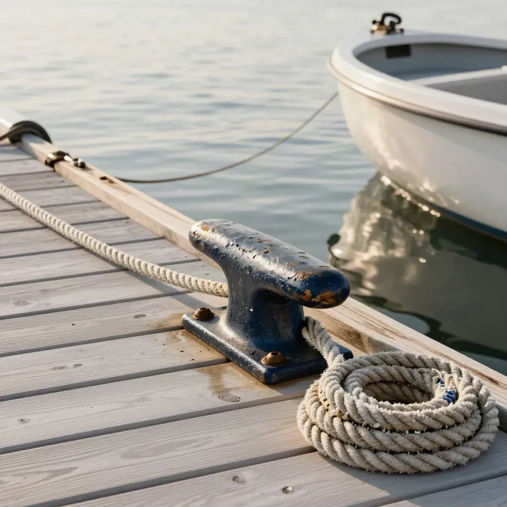
Dock cleat, slack line, coiled rope, and a boat bow easing free in morning spray
04

Launch With Clarity

Head out with the plan in hand and live help ready if the water changes.

CASE STUDIES

Trips Planned On Local Water

One coastal route map Tide and current chart pack Two plotter files Channel and inlet notes Email trip recap

Billed monthlyBilled monthly

Starter

From $499/mo

  • One coastal route map
  • Tide and current chart pack
  • Two plotter files
  • Channel and inlet notes
  • Email trip recap
Most popularBilled monthly

Signature

From $1,250/mo

  • Three route maps
  • Pre-trip weather checks
  • Four plotter files
  • Captain phone support
  • Safety briefing notes
  • Faster file turnaround
Monthly retainerMonthly retainer

Scale

From $2,750/mo

  • Daily route updates
  • Six route maps
  • Charter inlet alerts
  • Crew safety briefings
  • Priority captain line
  • Large plotter packs

WHAT CLIENTS SAY

Straight Talk From The Dock

A charter crew left on time with clear inlet timing and tide notes.
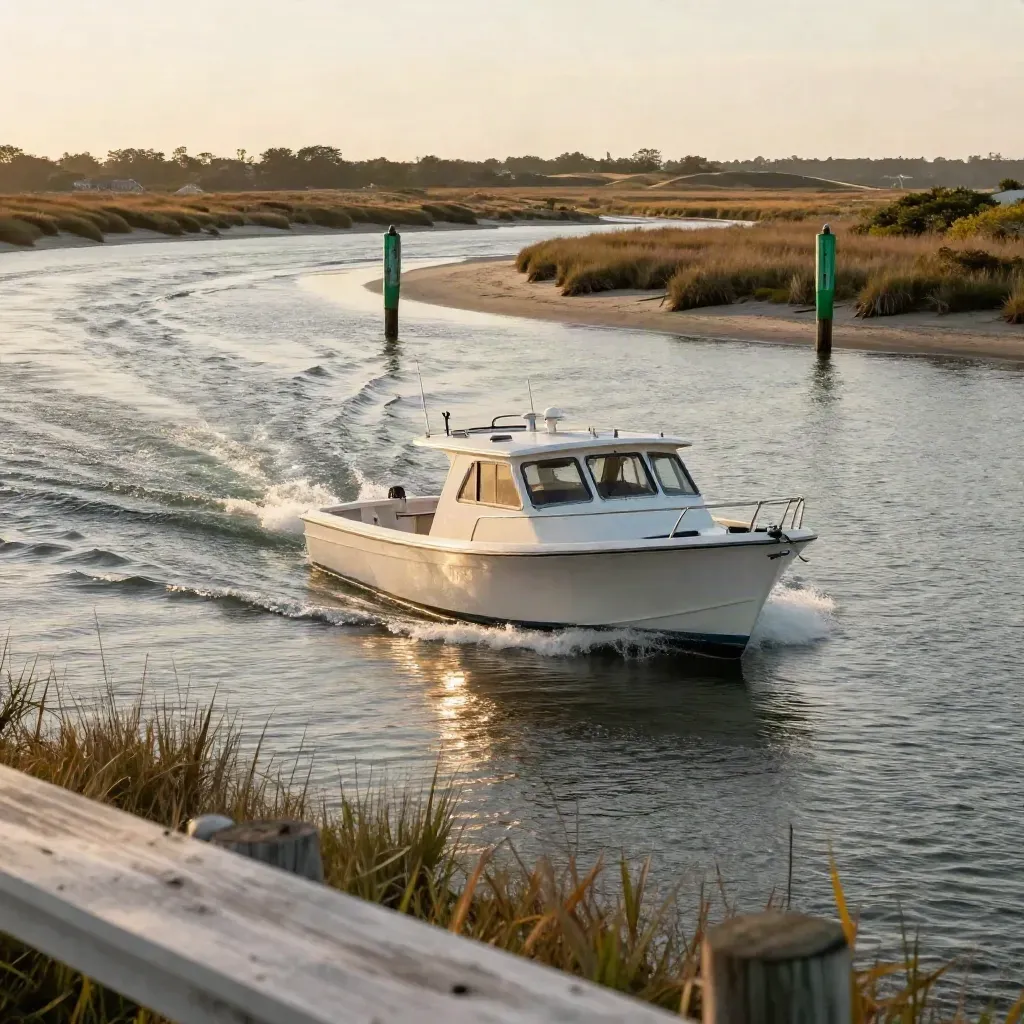
Empty charter boat threads Hatteras Inlet at sunrise with clean wake and green markers.

Charter Boats

Safe Runs Through Hatteras Inlet

A charter crew left on time with clear inlet timing and tide notes.
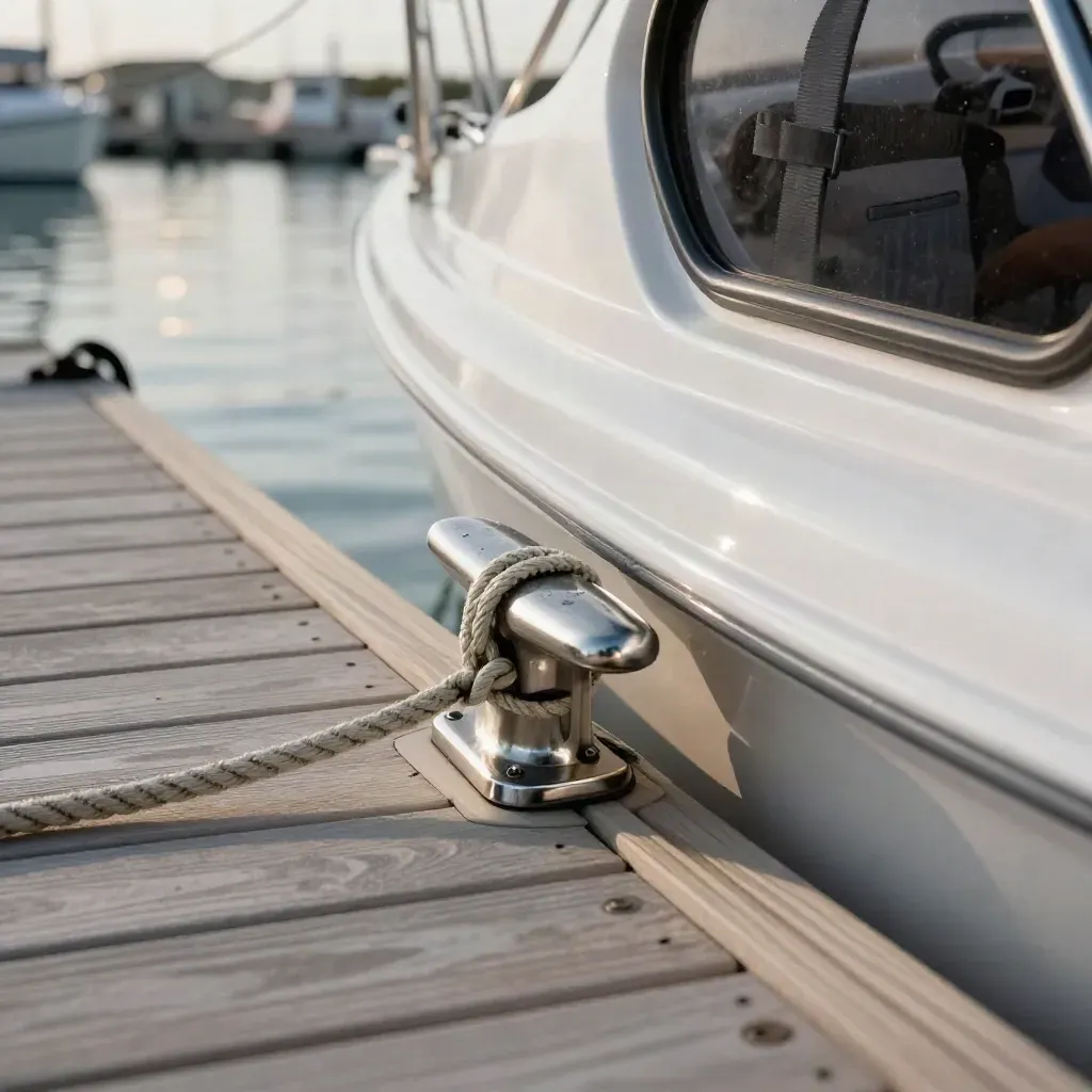
White fender, dock line, and cleat on a family cruiser tied at a calm Hatteras marina slip.

Family Boating

Plotter Files For Family Trips

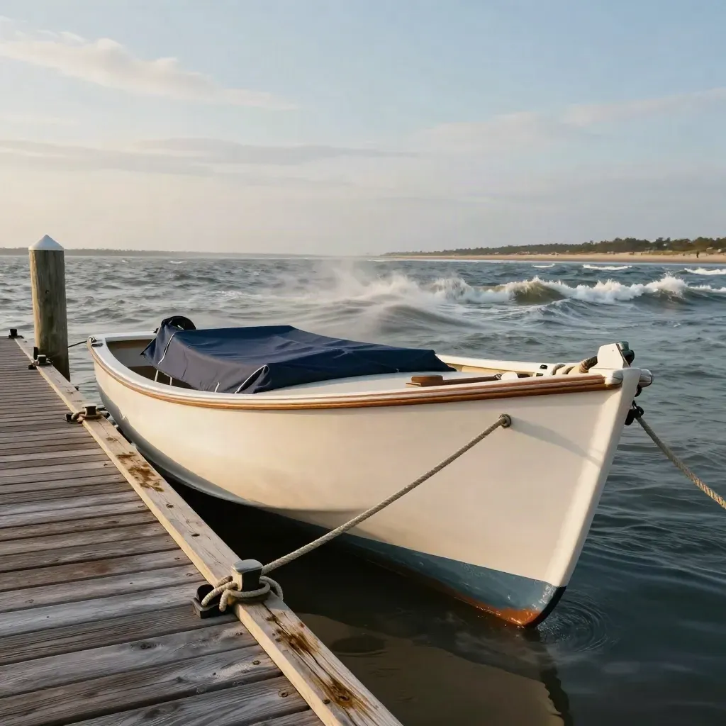
Runabout tied at a dock as rough chop rolls outside the inlet under clearing sky

Fishing Trips

Weather Call Before Launch

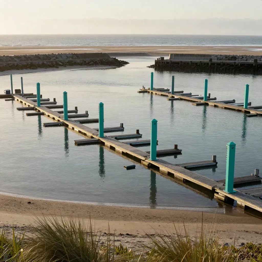
Elevated view of marina slips, teal markers, and inlet mouth beyond the breakwater.

Marina Teams

Channel Notes For Busy Weekends

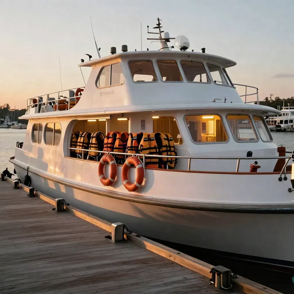
Docked tour boat at sunset with life vests, life rings, and glowing cabin lights

Tour Boats

Crew Briefing For Sunset Runs

Brass chart dividers beside a tide clock rim and rolled coastal chart tube on weathered wood.

Tide timing and inlet notes

Mara Ellison

Barometer, anemometer, and salt-speckled compass on a stone sill under moving cloud shadow

Wind, swell, and launch calls

Dean Mercer

Chart sleeves, binder clips, and wax shavings on linen under raking light.

Waypoint files and plotter help

Lena Cho

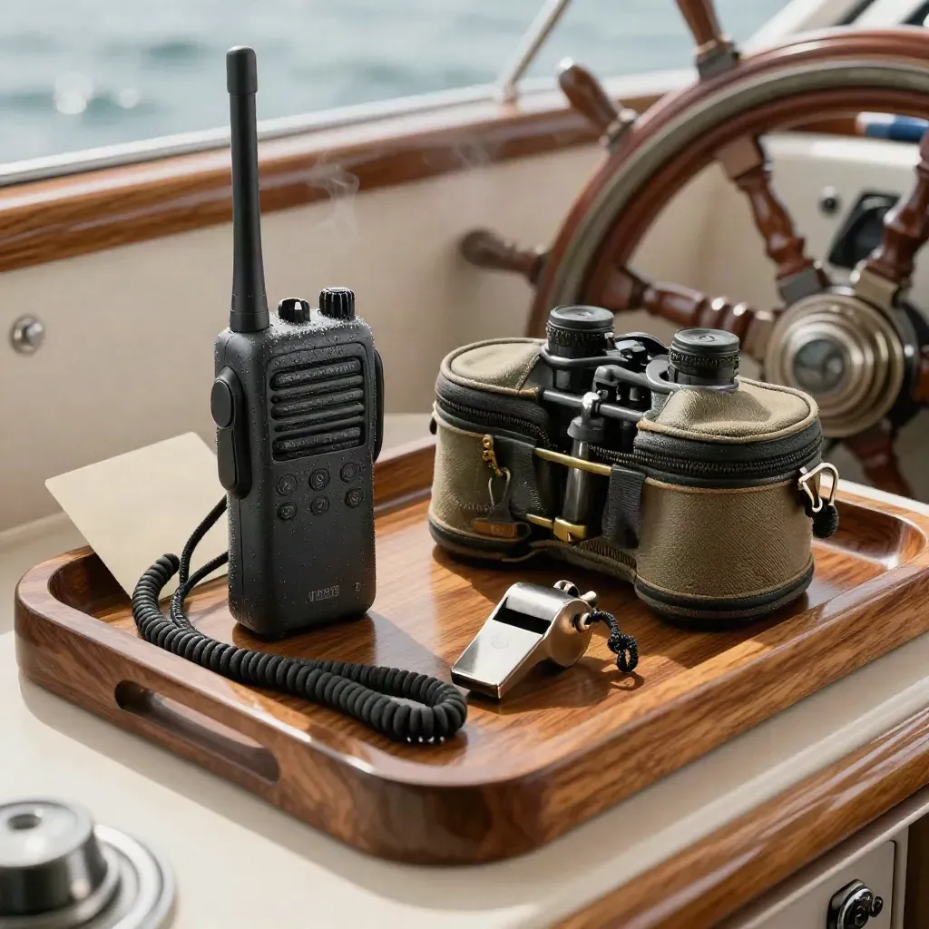
VHF radio, binocular case, whistle, and lanyard in a varnished yacht helm tray.

Safety briefings for charters

Rhett Walker

Proof

Customer notes

Verified

We got a clear route and left with less stress.

Brass chart dividers beside a tide clock rim and rolled coastal chart tube on weathered wood.

Nora Blake

Owner, Sea Finch Charters

Verified

The waypoint file matched our plotter on the first try.

Barometer, anemometer, and salt-speckled compass on a stone sill under moving cloud shadow

Evan Marsh

Skipper, Blue Tide Boat Club

Verified

Weather notes saved us from a bad launch window.

Chart sleeves, binder clips, and wax shavings on linen under raking light.

Priya Dalton

Captain, Salt Path Fishing

Service area

Hatteras Island

Hatteras, Buxton, Frisco, Avon, Waves

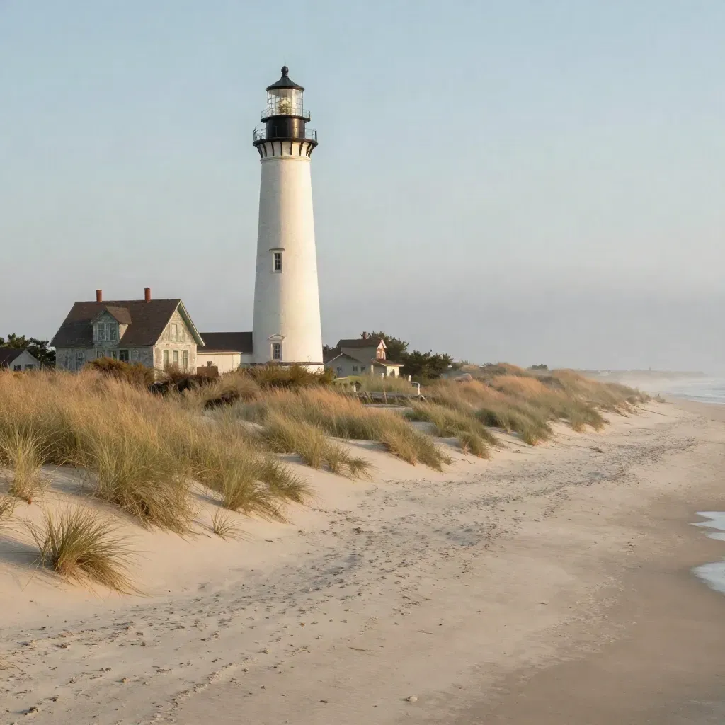
Cape Hatteras Lighthouse above dune grass and cottages in golden fog

Area 01

Hatteras Island

Hatteras, Buxton, Frisco, Avon, Waves

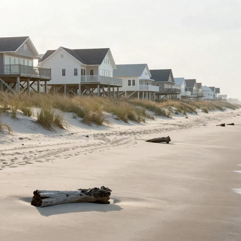
Stilted coastal houses on a dune ridge above calm sandy foreground in soft morning haze.

Area 02

Outer Banks South

Rodanthe, Salvo, Avon, Buxton, Hatteras
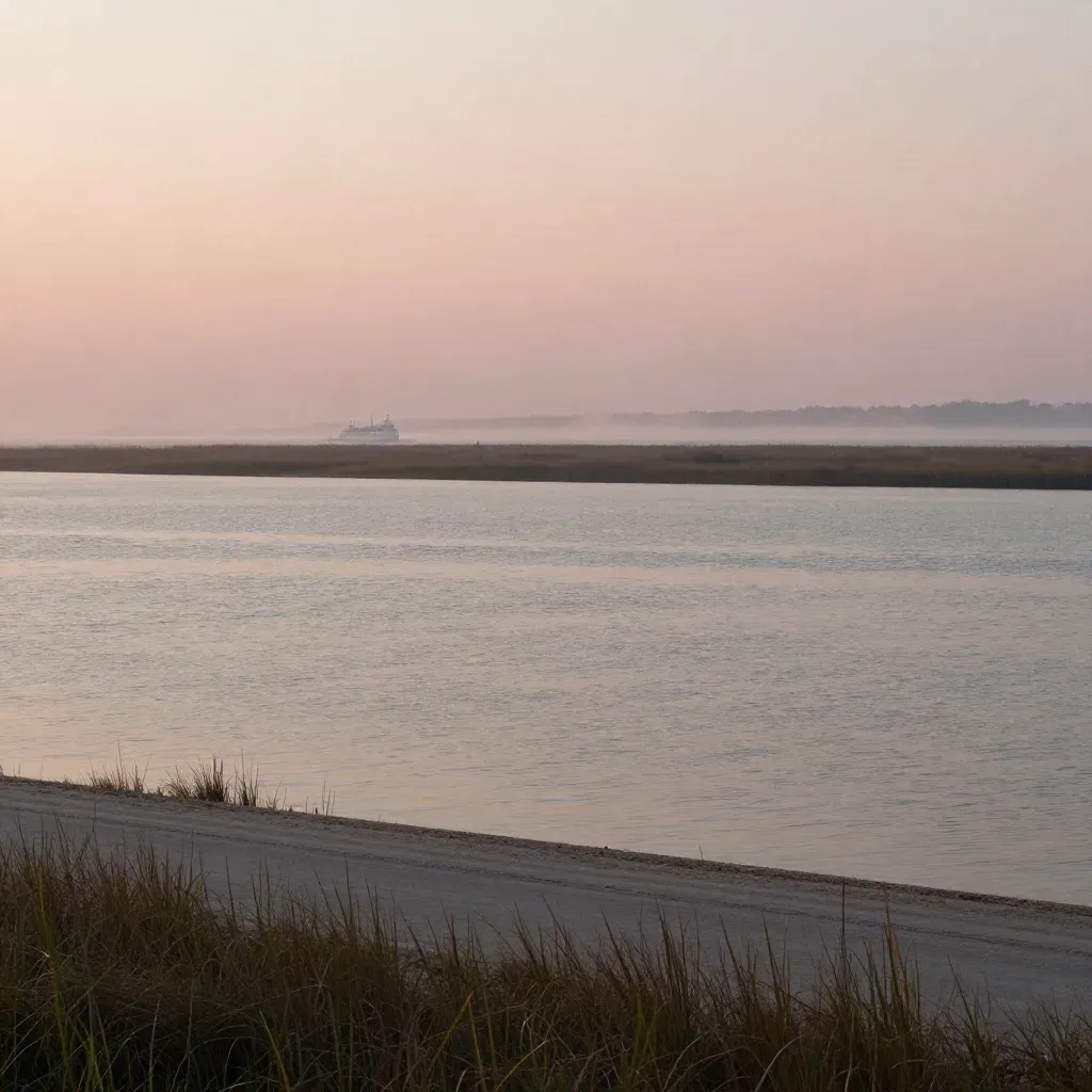
Glassy Pamlico Sound with marsh grass and a distant ferry under rose sunrise haze.

Area 03

Pamlico Sound

Hatteras, Ocracoke, Stumpy Point, Manns Harbor
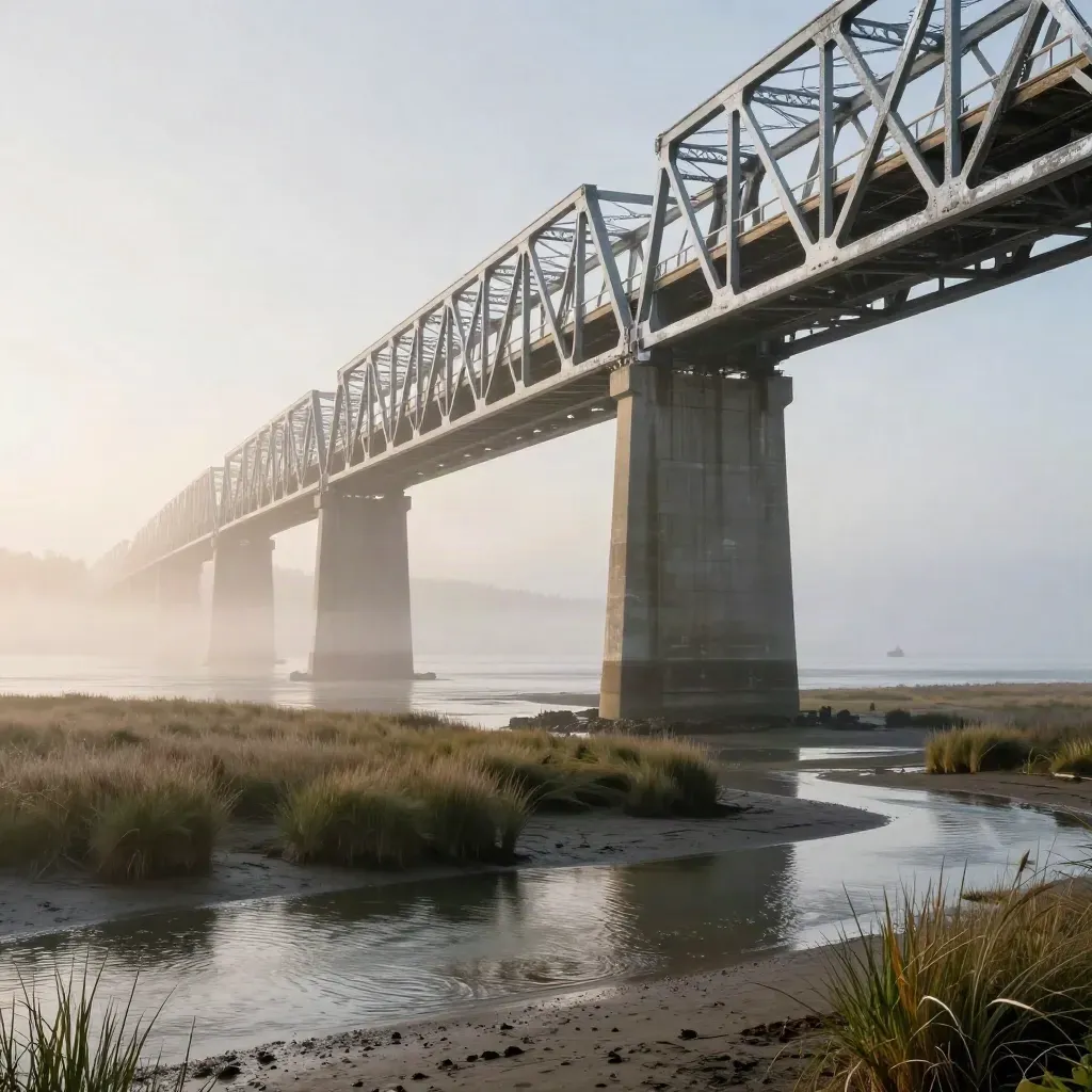
Oregon Inlet Bridge over calm marsh water in warm morning haze

Area 04

Coastal Carolina

Manteo, Nags Head, Oregon Inlet, Wanchese

The Map

Questions

Common Questions

Quick answers before visitors choose a product, service, or next step.

01How far ahead should I book?+

Book 24 to 72 hours ahead for the best route check. Same-day help is open when the dock day changes near Hatteras.

02Do you send GPS waypoint files?+

Yes. We send files for your plotter, plus notes for inlet turns, shoals, and safe speed zones before launch.

03Can you check weather for my trip?+

Yes. We review wind, swell, rain, and tide timing so you can pick a safer launch window for Hatteras waters.

04Do charter teams get support?+

Yes. Charter crews get route notes, guest safety briefs, and quick call help when plans change at the dock.

05What waters do you cover?+

We cover Hatteras Inlet, nearby channels, Pamlico Sound routes, and common runs along the South Outer Banks.

06Can I keep using my own captain?+

Yes. We work with your captain or crew and add route notes, charts, and safety briefings where needed for the day.

Get Tide Alerts

Get tide notes, inlet alerts, and trip tips by email before your next run on Hatteras waters.